


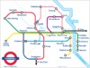


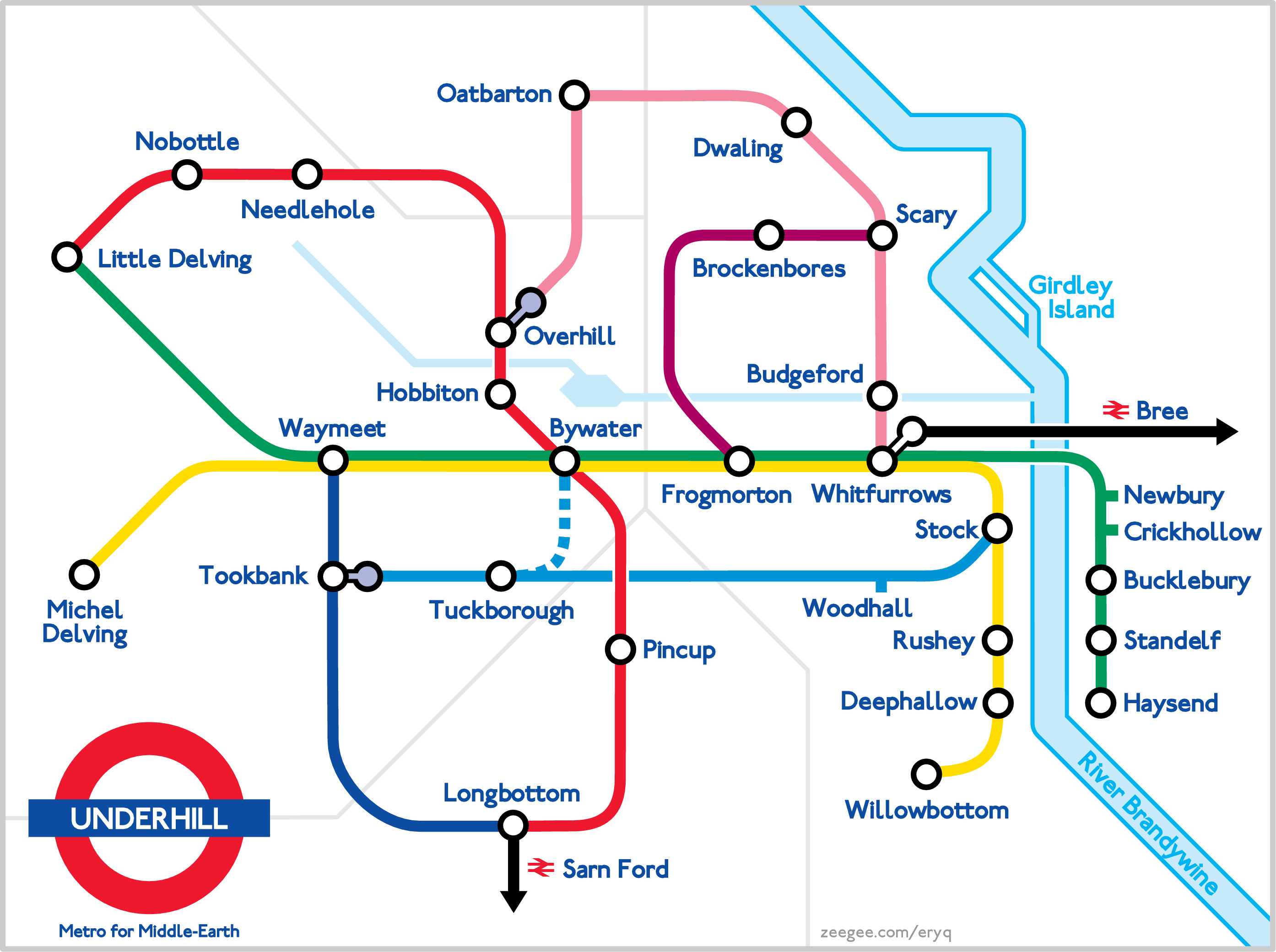
May/June 2007. A get-well card for my friend Susan, who lives in London and loves fantasy literature. This is a map of the Shire from Tolkien's "Lord of the Rings", done in the style of the London Underground map. The railway lines in my map mostly follow the roads in Tolkien's -- I'll probably tweak it at some later date to please the hardcore fans.
For aesthetic reasons, many towns which are not really "interchanges" between two "lines" are currently shown as such (by a hollow circle). So let's just say that those towns provide interchanges between hobbit-roads and animal tracks which are not shown. Yeah. Animal tracks. And you know that Tuckborough-to-Bywater extension? It's still not finished...
For the geographical layout, I mostly used the Shire map from the Encyclopedia of Arda. This map has the correct names of the towns (such as Oatbarton), and it seems to strive for accuracy with regard to the relative distances between towns. I took the map, made it a layer in OpenOffice Draw, and assembled the Tube map on a layer above it so that the proportions remained relatively true. Even the divisions between the four Farthings made it in.
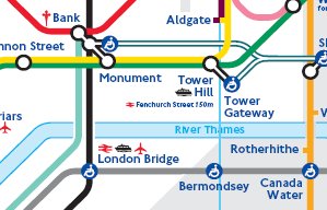
For the London Tube, I downloaded one of the standard maps from the web -- the definitive ones are from Transport for London. I took the PDF, converted it to a graphic, sampled the colors, and slid it into my document as another layer. This allowed me to match the font, line widths, and icons fairly precisely. The font is called "London Tube", and is freely available.